


Blanc Martel

jean52
User

Length
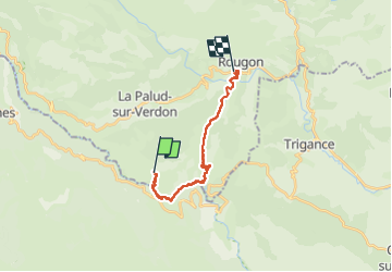
18.9 km

Max alt
949 m

Uphill gradient
2233 m
Km-Effort
49 km

Min alt
556 m

Downhill gradient
2334 m
Boucle
No
Creation date :
2024-09-10 06:56:46.0
Updated on :
2024-09-10 14:08:09.061
4h46
Difficulty : Very difficult

FREE GPS app for hiking
 SityTrail
IGN / Geographical institutes
SityTrail Plus
The world is yours!
About
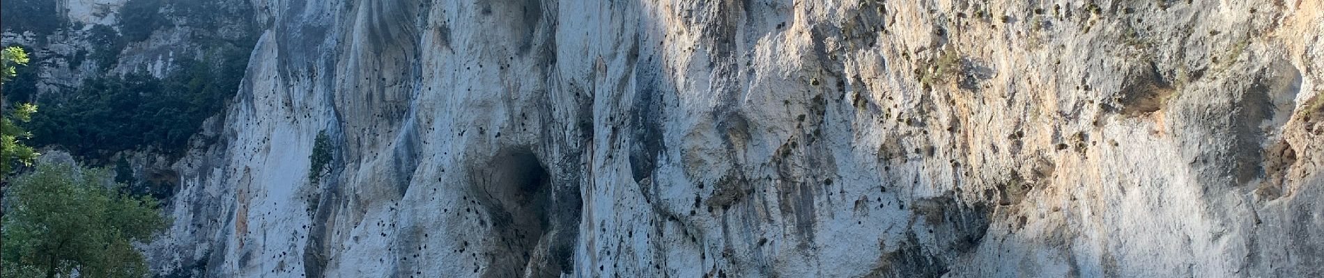
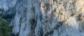
Trail Walking of 18.9 km to be discovered at Provence-Alpes-Côte d'Azur, Alpes-de-Haute-Provence, La Palud-sur-Verdon. This trail is proposed by jean52.
Photos

Positioning
Country:
France
Region :
Provence-Alpes-Côte d'Azur
Department/Province :
Alpes-de-Haute-Provence
Municipality :
La Palud-sur-Verdon
Location:
Unknown
Start:(Dec)
Start:(UTM)
286421 ; 4847299 (32T) N.
Comments